


What Is bathymetry?
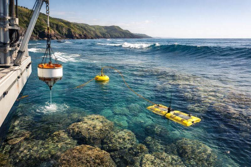
Bathymetry is the measurement and mapping of underwater depth and seabed shape. In coastal wave engineering, the depth field h(x,y) controls how wave speed, wavelength, and shoaling change as swell moves toward shore. In shallow water, wave celerity approaches c = sqrt(gh), so changing depth directly alters how wave crests bend and how energy is redistributed.
In real coastlines, shelves, reefs, canyons, and headlands can focus waves into energetic corridors or spread them into quieter bays. Those changes reshape Energy Flux before it reaches a converter, cable route, or harbor entrance. It also affects mooring angles and seabed foundation choice for bottom-fixed equipment. Engineers therefore combine bathymetric surveys with wave models when selecting array locations and estimating extreme loads.
The concept matters because small mapping errors can produce large mistakes in site yield and survivability studies. In coastal wave resource assessment, inaccurate seabed data can misstate annual power levels, nearshore refraction, and the distance between energetic water and practical grid connection points. That makes bathymetry a physical input, not just a map layer for planners, modelers, and infrastructure teams.
Example:
A rocky headland can receive stronger wave attack than a nearby bay because local seabed shape bends and concentrates incoming swell.
Related Concepts:
- Shoaling
- Refraction
- Seabed Survey
NoSuchDevice is a free archive of machines that do not exist yet but already have a shadow in physics. I research and write every entry alone, with no ads. Take a look around the archive, or help keep it free.