


What Is Synthetic Aperture Radar?
Synthetic Aperture Radar, or SAR, is an active imaging method that sends microwave pulses toward a scene and combines returns collected along a moving path to mimic a much larger antenna. This synthetic aperture improves image detail from a compact platform. A useful radar relation is range_resolution = c / (2B), where bandwidth sets range detail.
Because SAR uses microwaves, it can image through cloud, smoke, and darkness while responding to surface roughness and moisture. That makes it valuable in cloud-penetrating land observation, sea-ice mapping, flood analysis, ship detection, and ground deformation studies across large areas.
The technique matters because it delivers repeatable imaging when optical sensors are blocked or illumination is poor. Used in devices include Earth observation satellites, airborne survey radars, military reconnaissance systems, disaster response platforms, and geophysical monitoring networks that need consistent coverage despite weather or time of day.
Image formation depends on platform motion, phase accuracy, pulse timing, and signal processing strength. Engineers correct for geometry, speckle, and orbital error so brightness and phase can be used for classification or change detection rather than treated as raw echoes without spatial meaning.
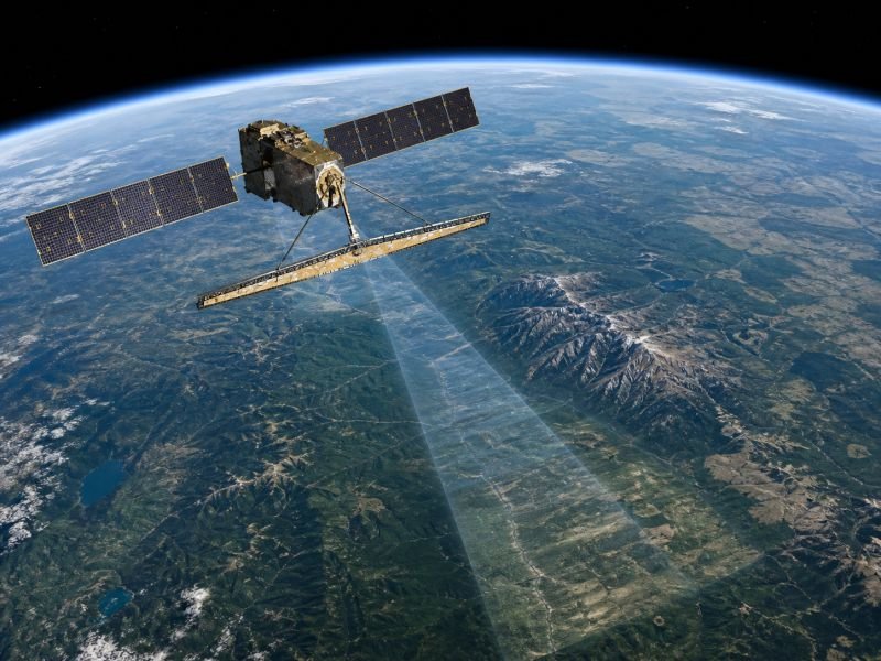
Example:
A SAR satellite can map the extent of a flood beneath heavy cloud cover when optical imagery cannot see the ground.
Related Terms:
NoSuchDevice is a free archive of machines that do not exist yet but already have a shadow in physics. I research and write every entry alone, with no ads. Take a look around the archive, or help keep it free.